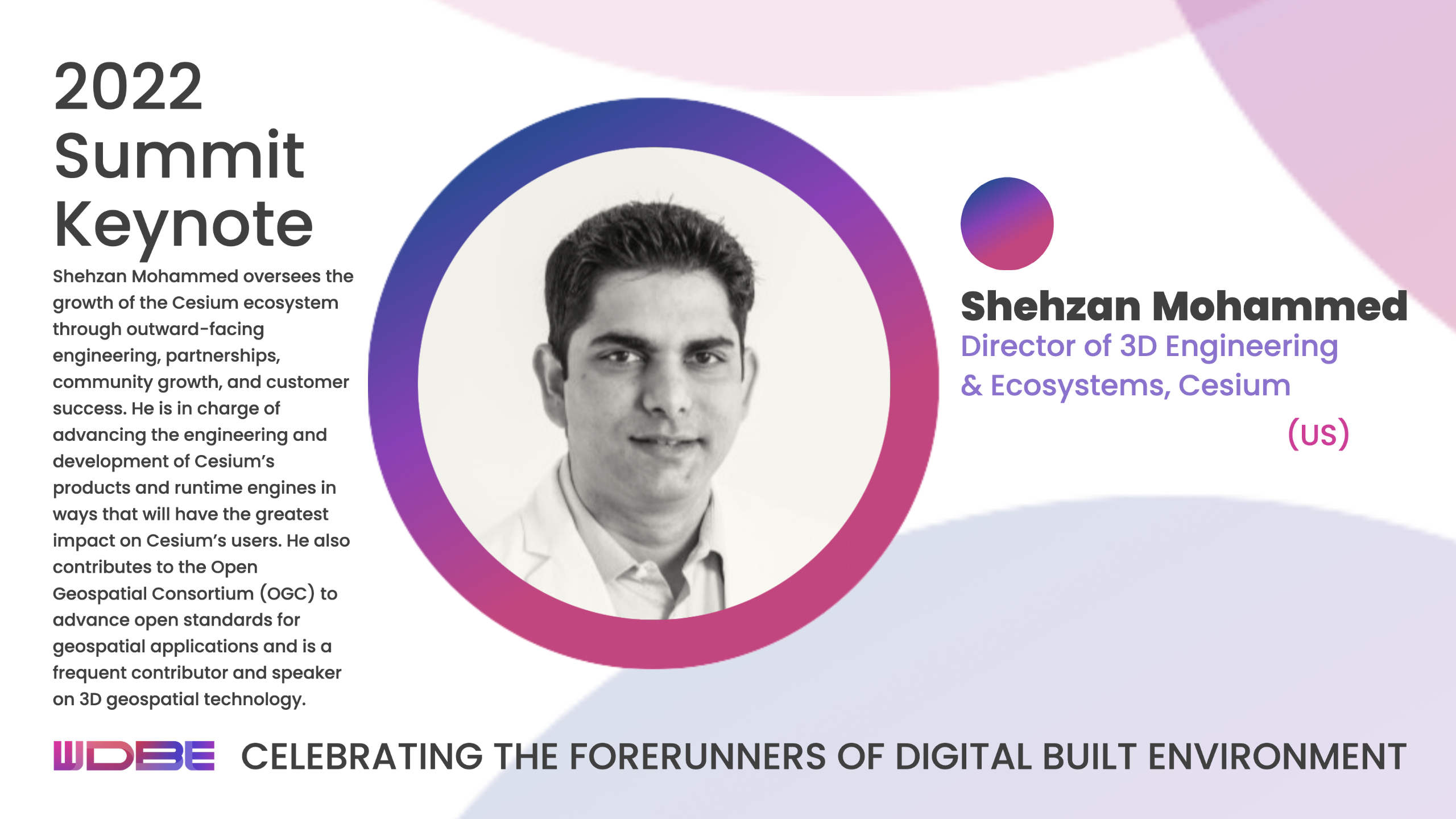
Shehzan Mohammed is Director of 3D Engineering and Ecosystems at Cesium. Aarni Heiskanen interviewed him on the innovations in geospatial technology, game engines, and the value of open standards to the developer community. Shehzan is a keynote speaker at WDBE.
Shehzan grew up in India and did his undergraduate studies there. He moved to the USA to study computer graphics and game technology for his master’s degree at the University of Pennsylvania.
Shehzan began his career at ArrayFire, a company that builds high-performance GPU libraries.
Later, he joined AGI as a software developer where his former teacher, Patrick Cozzi, also worked, and began teaching at Penn.
In the summer of 2019, Cesium was born as a spinoff from AGI, and Patrick became its CEO. Shehzan followed along, but with a slightly different job description.
”I was taking on a more outward-facing role, talking to customers, sharing my process of educating first rather than selling, educating both the community, the technology leaders, and people who are interested in geospatial.”
Engineering and community-building
Today, Shehzan manages 3D engineering and ecosystems at Cesium. He has, however, not given up teaching. He is in his sixth year of teaching GPU programming at the University of Pennsylvania.
Shehzan values the opportunity to meet with students and share industry knowledge with them.
“Being a force multiplier is a big part of the satisfaction I get as a teacher, being able to share my knowledge and connect students with the industry to allow them to be successful in their own right.”
Career-guiding principles
Does Shehzan have a vision that guides his choices? An insight from a Harvard Business School course has stuck with him: instead of fighting over a smaller pie, you should grow the pie. The principle is applicable both in professional and personal life.
Another guiding principle is open source and open standards. Shehzan has been amazed by the results of being open with the community, which can lead to previously unimaginable solutions.
Shehzan is most proud of Cesium’s integration with Unreal Engine. It’s called Cesium for Unreal. It combines geospatial and gaming technology, allowing people to build 3D environments based on real-world geospatial data.
Shehzan admits that he’s an engineer with the mind of a problem solver. One of his significant challenges has been learning on the job – transitioning from being an individual contributor who writes code daily to being a team and community leader.
Bringing technologies together
Geospatial was mainly synonymous with “flat” 2D maps a decade ago. BIM, on the other hand, has always been three-dimensional. These two worlds lived separately for a long time. Architectural BIM models stood alone, without a reference to the urban environment.
3D geospatial has changed the situation. For instance, if you’re designing a new building or community, you can place the designs in real-world environments and see how they interact.
“Now, you’re not in a black box of what your specific BIM is going to look like. What does the environment around it look like? What is your sunset view? Are you a beachfront property where the beach-facing condos are more expensive than the ones that are not beach-facing? How is that going to look? How is that going to affect the buyer experience?” Shehzan explains.
He mentions another example: building wind farms. They typically raise concerns among nearby citizens who fear their property values will decrease. If a 3D environment simulation shows how the wind turbines look like specks in the sky, people calm down.
Enriching geospatial experiences
The introduction of gaming engines to the geospatial community and developing tools to utilize the best from both worlds open unforeseen opportunities. Now, you can simulate human and natural processes – practically in real-time – in the virtual environment that mimics the real world. Likewise, you can bring the real world into games.
Using metadata further enriches the experience. We can see the materials of a building, where are the doors and windows? Which parts are made of concrete or glass or steel.
“You bring in a whole other level of experience where you make it significantly more interactive.P eople can actually walk through the doors and understand the full experience rather than just seeing it from outside or from a specific camera view,” Shehzan envisions.
Adhering to open standards
To make all this happen, we need open standards, another of Shehzan’s passions. Without data standards, our reality would be very different, he says. We would not be able to use the web, email, or phones the way we now do. Likewise, geospatial data must adhere to open standards and APIs.
“Being able to advocate for these open standards allows people to use the best data available rather than be locked into any one data, engine, or platform. And I think that’s where the value is – in the freedom for people to choose the right systems and the right standards for their use case.”
You can meet Shehzan at WDBE on September 28, 2022. He’s going to share visual examples both from Cesium and the community. He hopes to inspire the audience to explore the potential of geospatial in their work.
You can connect with Shehzan on LinkedIn and visit cesium.com for more info on Cesium.
Listen to the whole interview on WDBE Talks.
View the original article and our Inspiration here


Leave a Reply