
Tag: Mapping
-
ProStar & Tersus GNSS Partner on Global Utility Mapping Solutions
ProStar Holdings Inc. (“ProStar®” or “the Company”) (TSXV: MAPS) (OTCQX: MAPPF) (FSE: 5D00), developer of PointMan® Precision Mapping Solutions® and the LinQD™ enterprise integration platform, is pleased to announce a strategic partnership with Tersus GNSS, a leading global manufacturer of patented GNSS technologies. The collaboration will deliver a complete precision mapping solution to the utility and critical…
-

Kier bags National Highways underground mapping contract
Kier’s utility search service QuikSTATS has won a National Highways contract to provide its underground utility mapping data. The £9m contract will run for three years, with the possibility of a further year’s extension. QuikSTATS will be National Highways’ sole service provider for C2 utility stat searches. C2 searches identify the underground locations of utilities…
-

Esri UK and Tetra Tech Provide One-Stop Solution for Indoor Mapping
Esri UK today announced a new partnership with Tetra Tech to offer customers an end-to-end solution for indoor mapping, designed to capitalize on an increasing demand for indoor mapping for facilities management, at large offices, campuses, or hospitals. Offering the complete workflow, global consulting and engineering services company Tetra Tech will provide the necessary 3D…
-
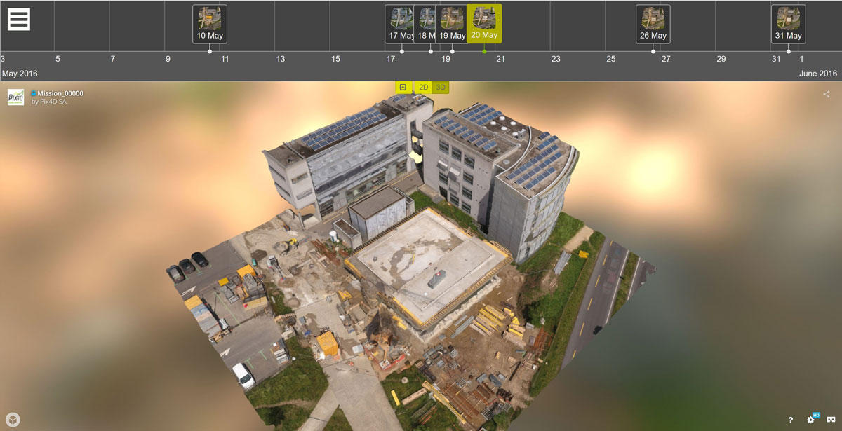
A New Perspective on Mapping Construction Sites with the Crane Camera System
In this interview, Julian Norton, Business Development Manager of Pix4D, talks about the company’s innovative mapping system for construction sites. Pix4D has just launched an early adopter program and is looking for test users. Can you say a few words about your company’s background and mission?Pix4D was founded in 2011 as a spinoff of EPFL, a leading…